Assessor Parcel Maps
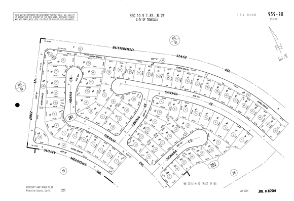
This sample is an actual Assessor's Parcel Map. These high-resolution parcel maps are available for immediate retrieval and download in our covered areas. Please click on the thumbnail image to view the larger version of this Assessor's Parcel Map example.
Additional details about Parcel Maps can be found on the Assessor Parcel Maps Info page.
How to get it: Assessor Parcel Maps are offered in all plans. Standard Monthly and Power User subscribers can search for them directly. Double-Deal and Dozen-Deal subscribers can request them as an additional purchase after obtaining a Detailed Report on the subject property. Some Parcel Maps may have more than a single page -- with us, you do not pay per page -- the pricing covers the entire requested and generated map. Our Plan Comparison conveniently lists all subscription choices; you can select and continue with enrollment from that page.

